Advanced Aerial Mapping
Utilizes state of art equipment to create high quality aerial maps. Using UAS (Unmanned Aircraft Systems) with LiDAR hardware to gather 3D mapping data and high resolution imagery. Our UAS can be equipped with various professional sensors for a broad variety of applications. Whether for precision agriculture, pit mining, inspections, or general construction industry, our long-range aircraft captures and delivers data from above for enhanced and sustainable decision making.
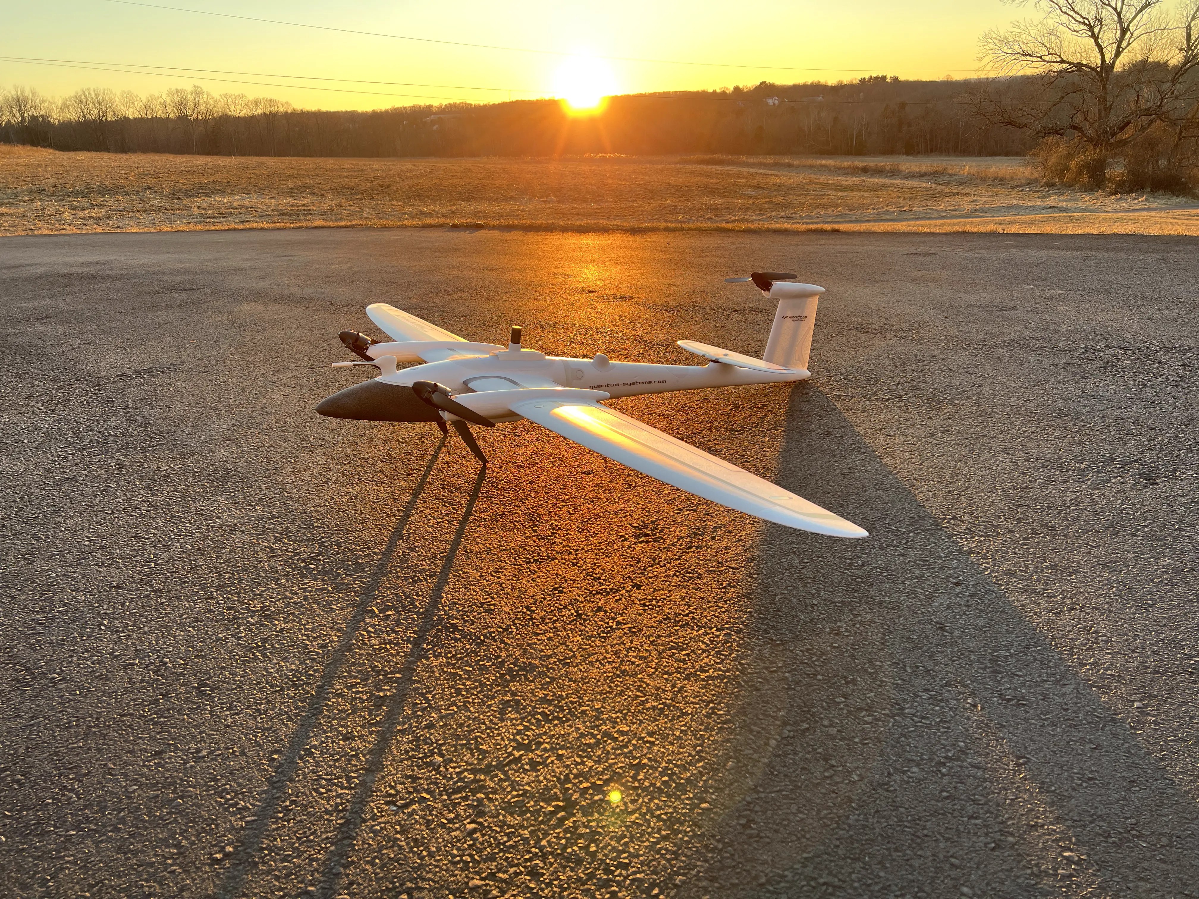
Fly Hazardous Sites
Process
Most of the processes are automated which ensures valuable time is saved especially during the data collection and data analysis phase.
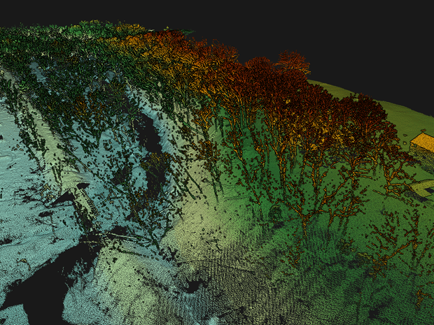
Capable of collecting elevation data from a densely populated forest thanks to the high penetrative abilities. Accompanied with a UAS, surveying large hazardous sites just became whole lot simpler.

Progress Reports
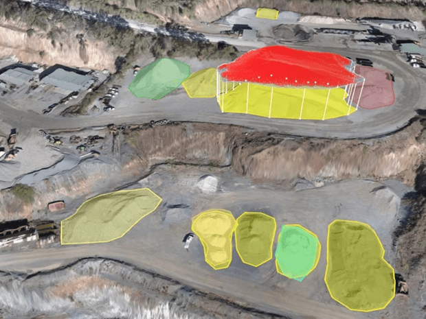
Monitoring progress of your sites from the sky. We can capture topography and aerial image on a regular basis so you can view and share the imagery with your customers, teams and partners.
3D Surveying
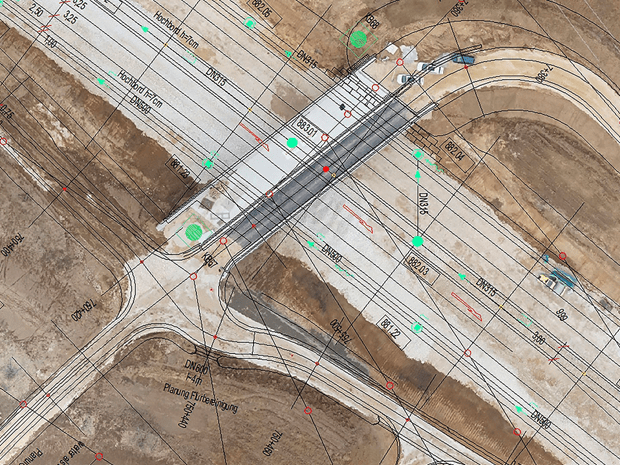
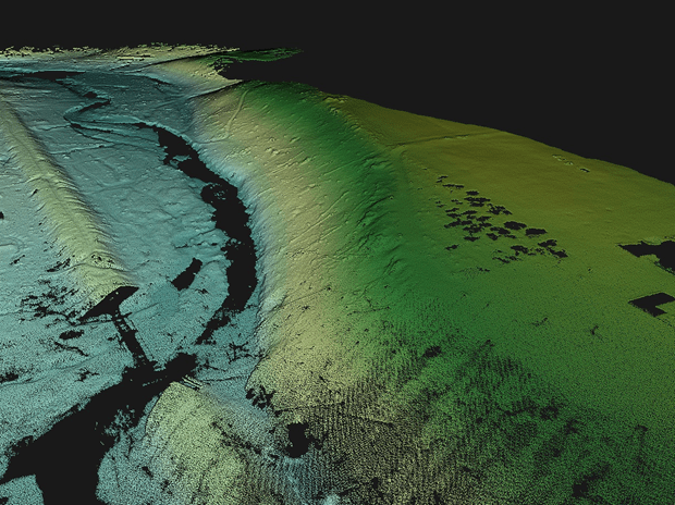
Surveying your chosen site with latest LiDAR UAS technology and surveying techniques, capturing millions of points of data for you to access
Aerial Mapping
Our Drones are fully equipped with various camera sensors and lenses for our trained team to capture the perfect image every time

Price
RAW4D offers a wide range of solutions at a clearly defined price, without any surprises.

Data Privacy
The rights of use of the data and images generated from the flight belong solely to the client.
Open Hours
Sat/Sun: closed
Mon – Fri: 8:00 am – 6:00 pm
